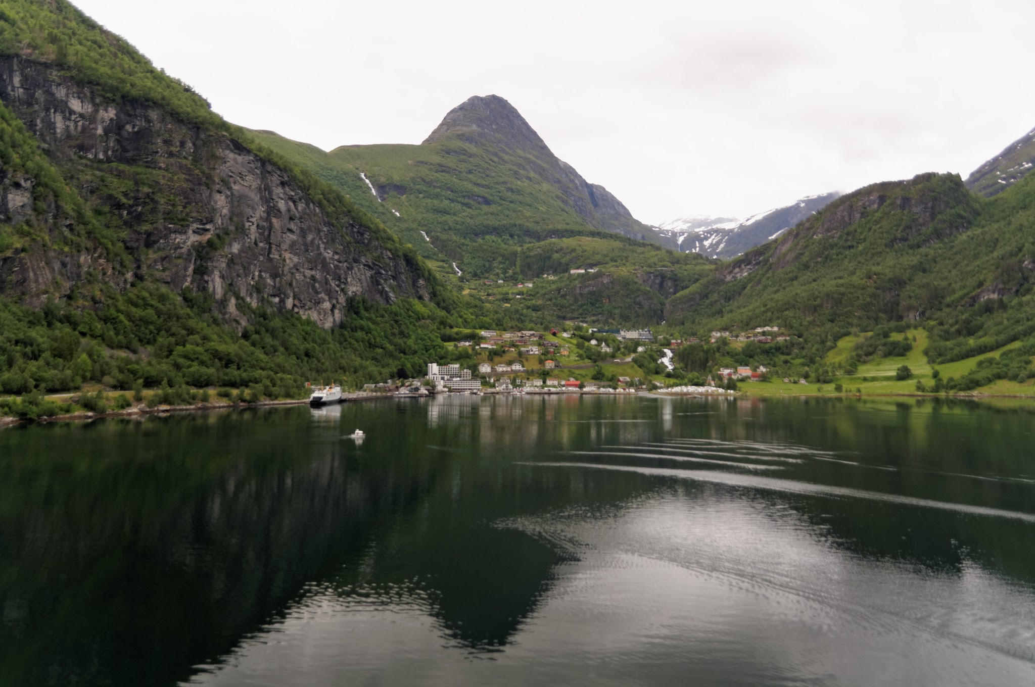
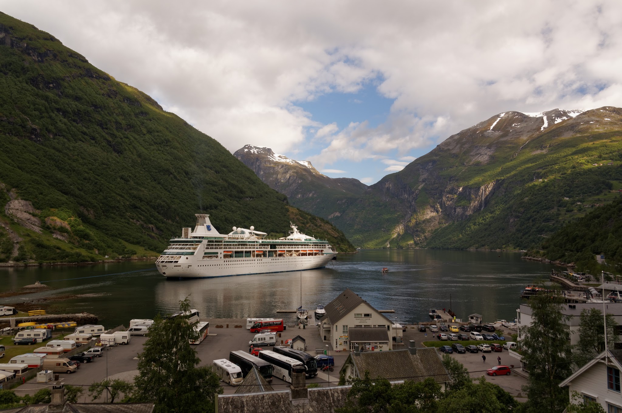
Geiranger: Westerås farm to Løsta viewpoint
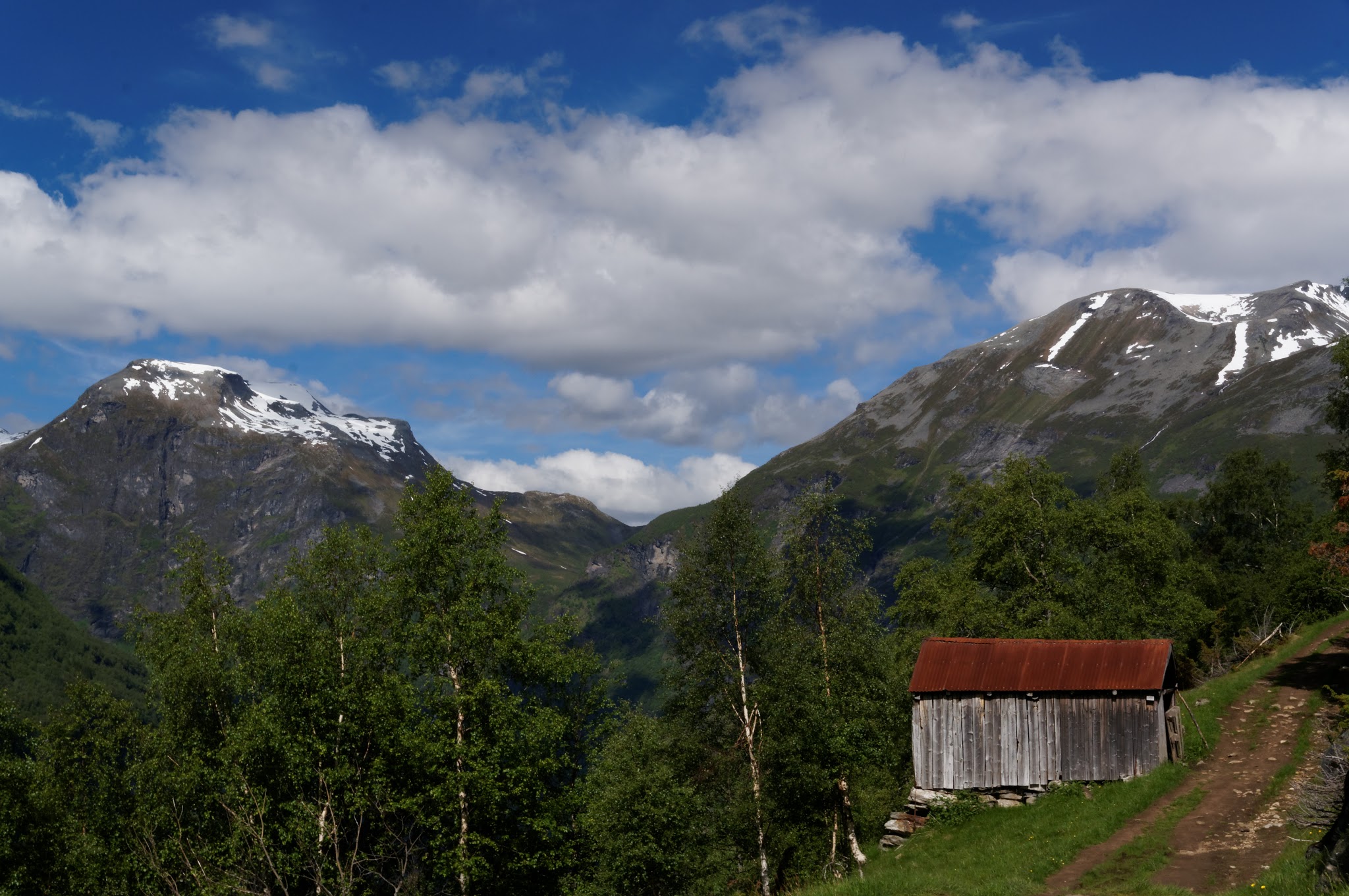
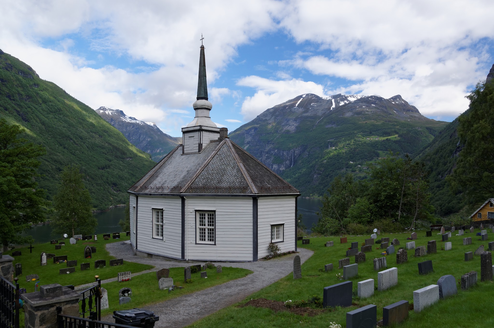
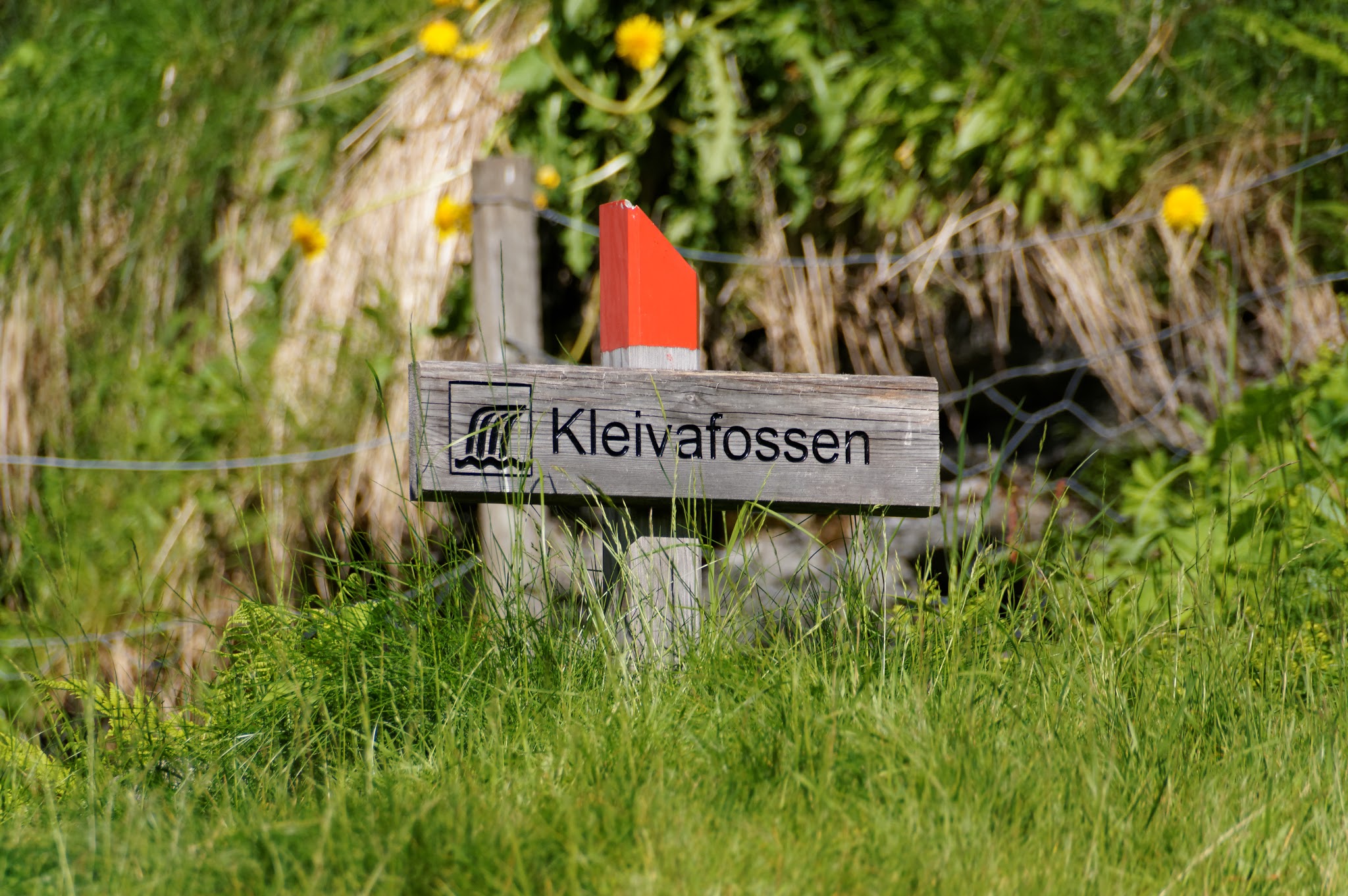
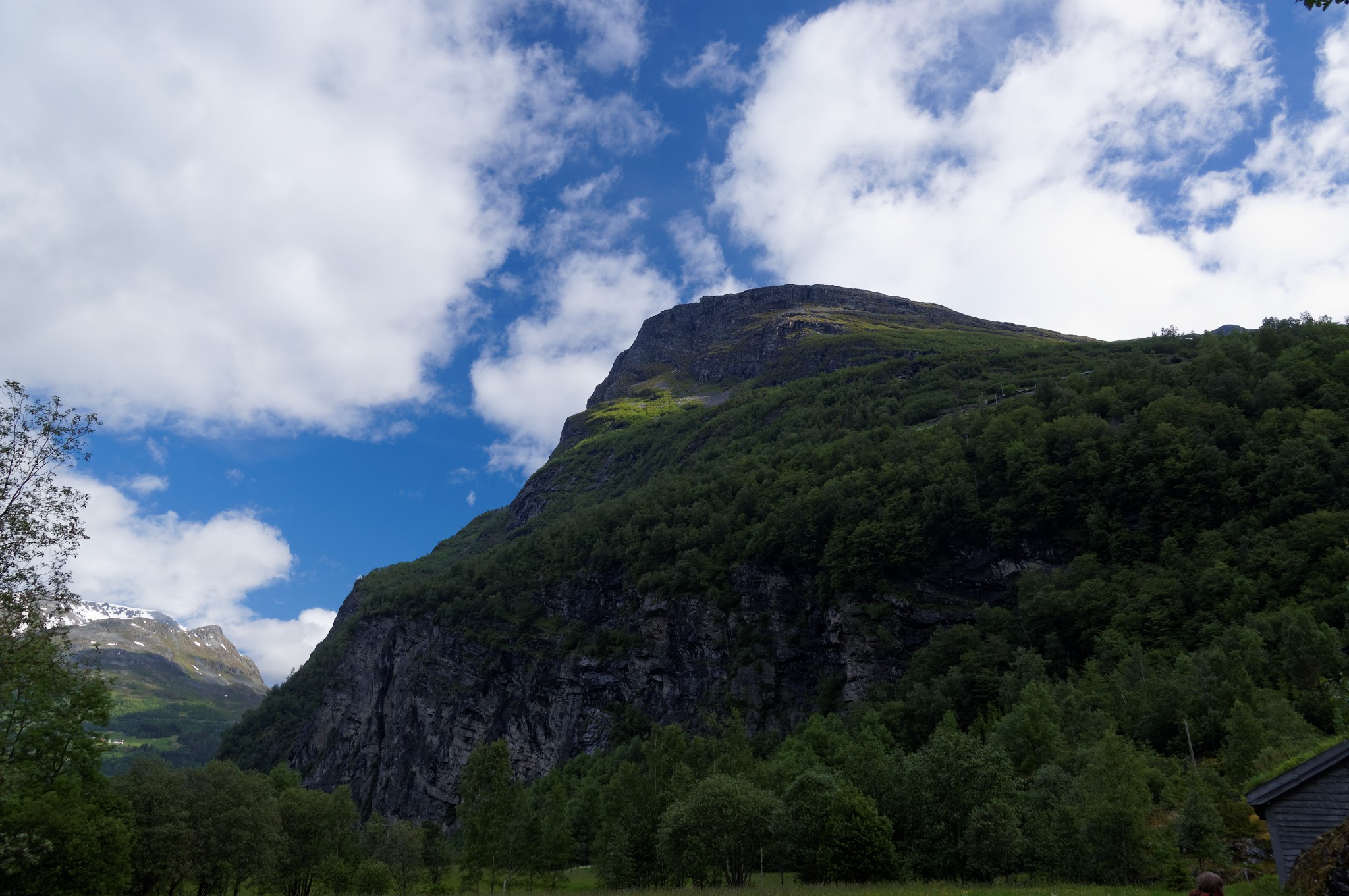
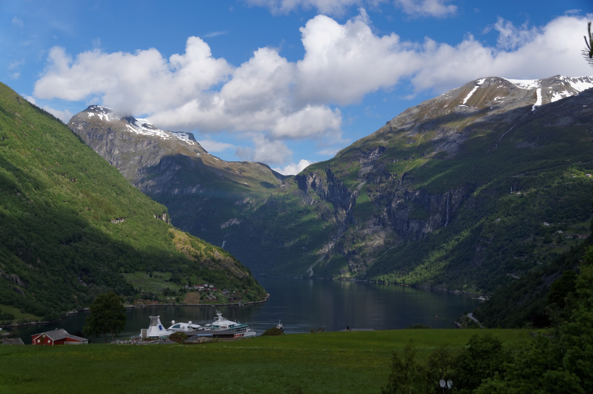
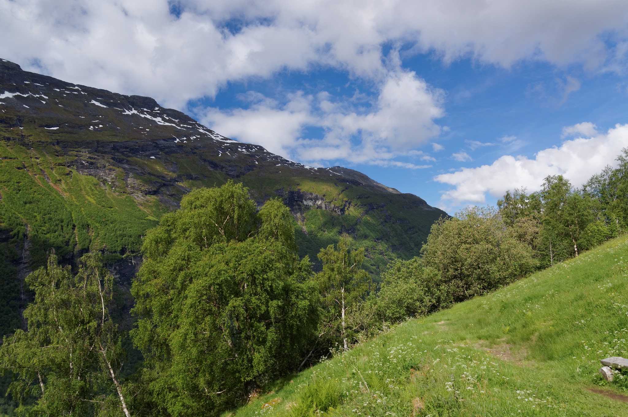
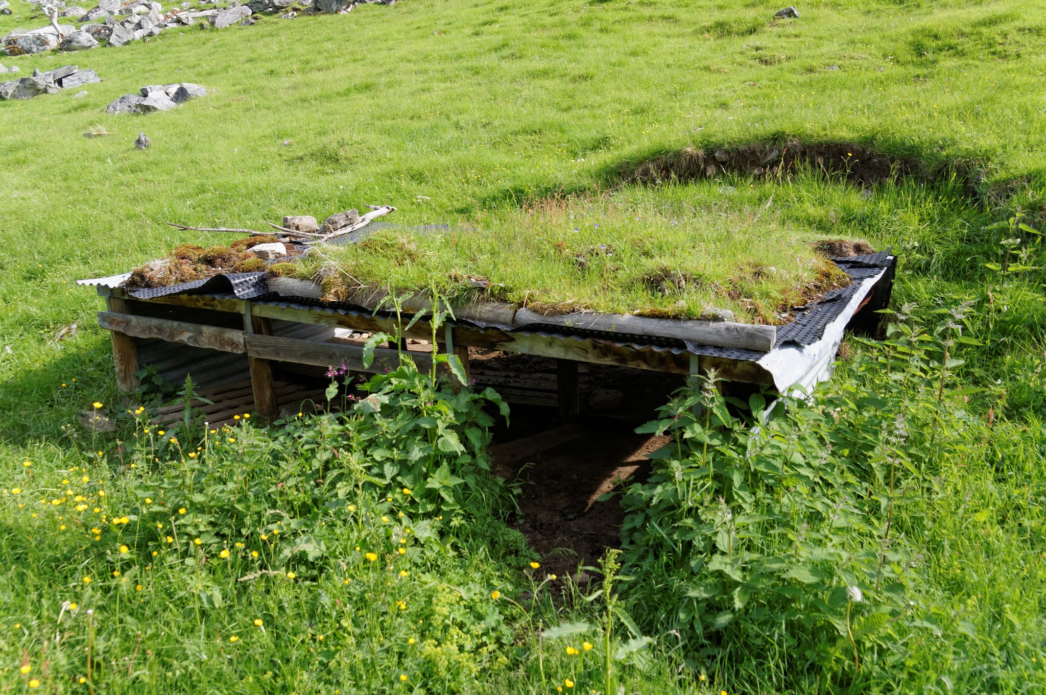
In Geiranger, Kim and I hiked up a trail to Westerås farm, then up to Løsta viewpoint 550 meters above the fjord. OsmAnd with Norway maps loaded was useful finding the trails since google maps couldn’t be bothered to help with that part.
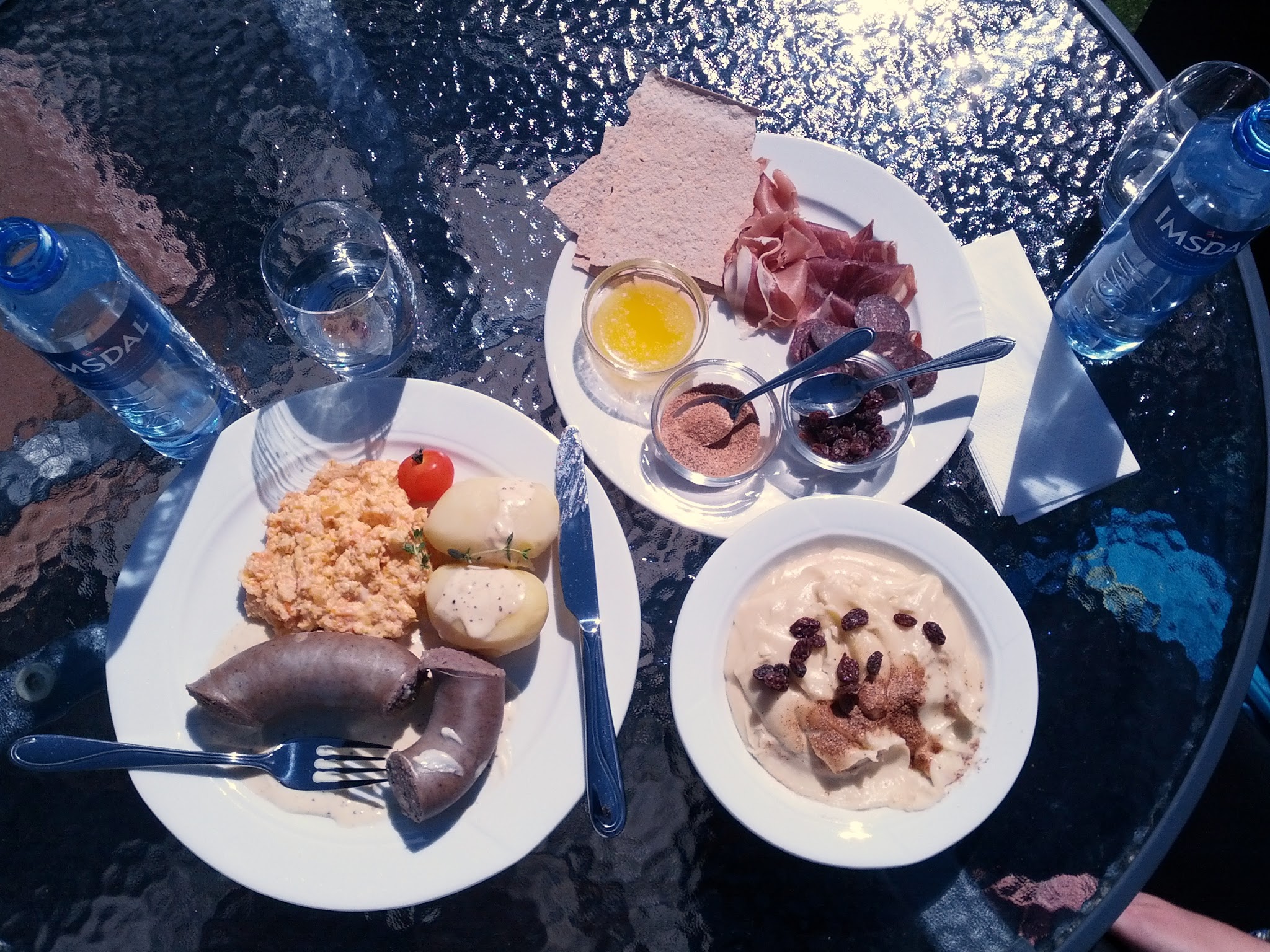
Kim rediscovered memories of childhood when she at rommegrote for lunch at Westerås, which made the $80 we paid for a simple lunch worth it. And the view, and the fresh air, and the fact that we were really hungry after hiking 550 meters up and 330 meters back down.
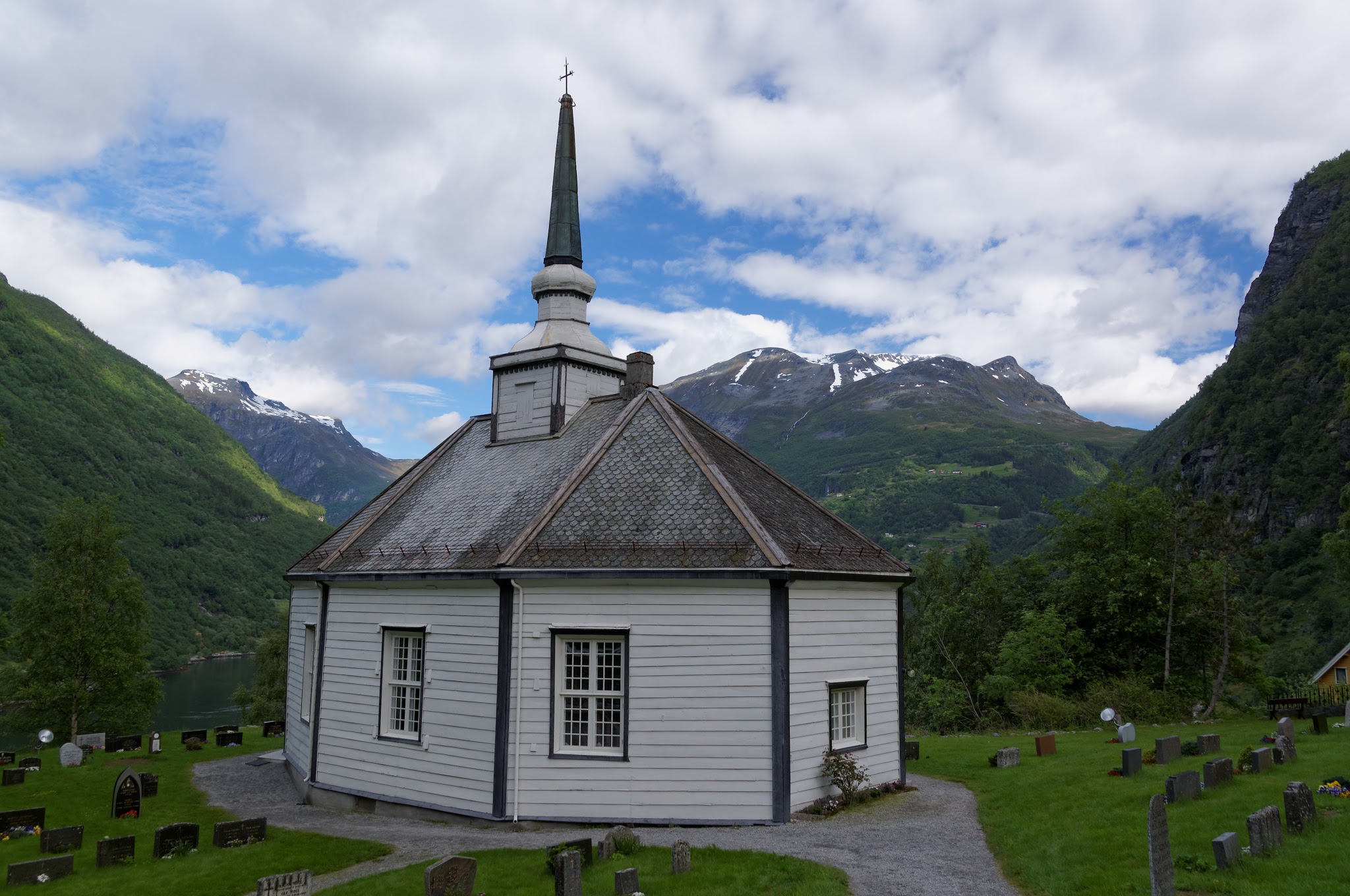
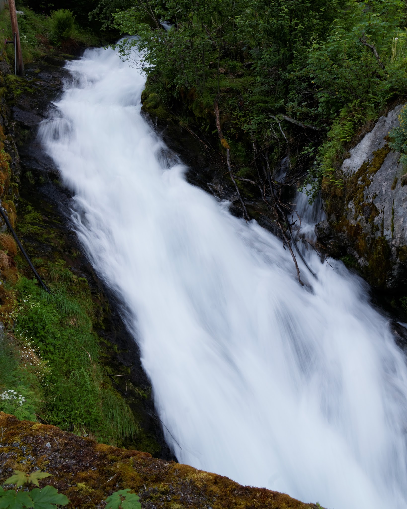
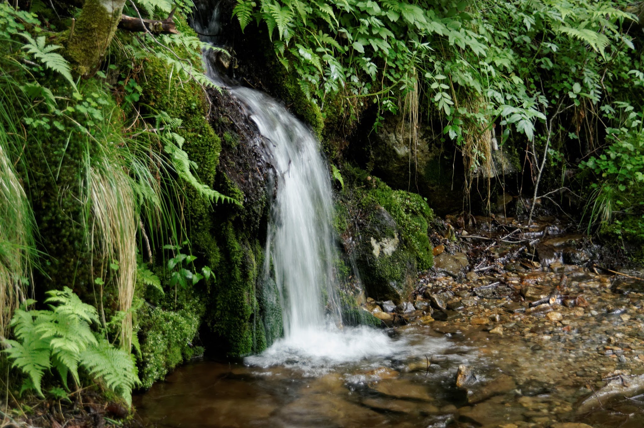
Waterfalls. Blue sky. White clouds. Grey cliffs. Green grass. Flowers. Cool, refreshing breezes. Ahh.
No pictures here of the “Geiranger - From Fjord to Summit” race, because none of the pictures was really worth looking at. But while we were walking up a hiking trail, people were running a marathon up the mountain and back. And kids were running a 4k with a 300m vertical.
Imported from Google+ — content and formatting may not be reliable